INSUBCONTINENT EXCLUSIVE:
captured the wreckage in unprecedented detail
Magellan Ltd, a deep-sea mapping company, and Atlantic Productions conducted the scans over a six-week expedition
That project is the subject of the new National Geographic documentary Titanic: The Digital Resurrection, detailing several fascinating
roughly 375 miles (600 kilometers) south of Newfoundland
remained undiscovered at the bottom of the Atlantic Ocean until an expedition led by Jean-Louis Michel and Robert Ballard reached the wreck
The ship split apart as it sank, with the bow and stern sections lying roughly one-third of a mile apart
The bow proved to be surprisingly intact, while the stern showed severe structural damage, likely flattened from the impact as it hit the
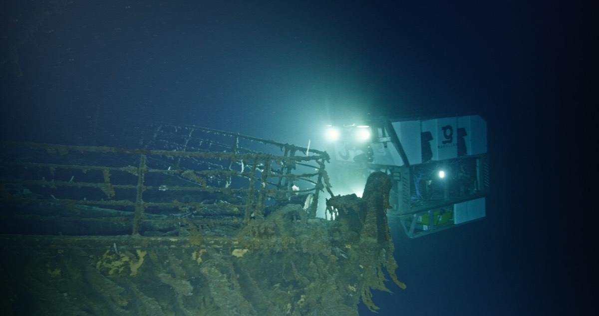
joint mission by Magellan and Atlantic Productions deployed two submersibles nicknamed Romeo and Juliet to map every millimeter of the
wreck, including the debris field spanning some three miles
The result was a whopping 16 terabytes of data, along with over 715,000 still images and 4K video footage
That raw data was then processed to create the 3D digital twin
The resolution is so good, one can make out part of the serial number on one of the propellers."I've seen the wreck in person from a
expedition to the most modern, high-def 3D imagery," deep ocean explorer Parks Stephenson told Ars
"This still managed to blow me away with its immense scale and detail."